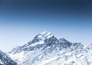
The highest mountain in New Zealand is Mount Cook. It rises 3,724m (12,218 feet) above the sea. While it is not extremely high it is not an easy summit.
It’s generally easy to only focus on the highest mountain; New Zealand has much more to offer. From easy beach walks to technical climbs or 60-day treks, the country is truly a land of adventure and will please both beginners and more advanced mountaineers.
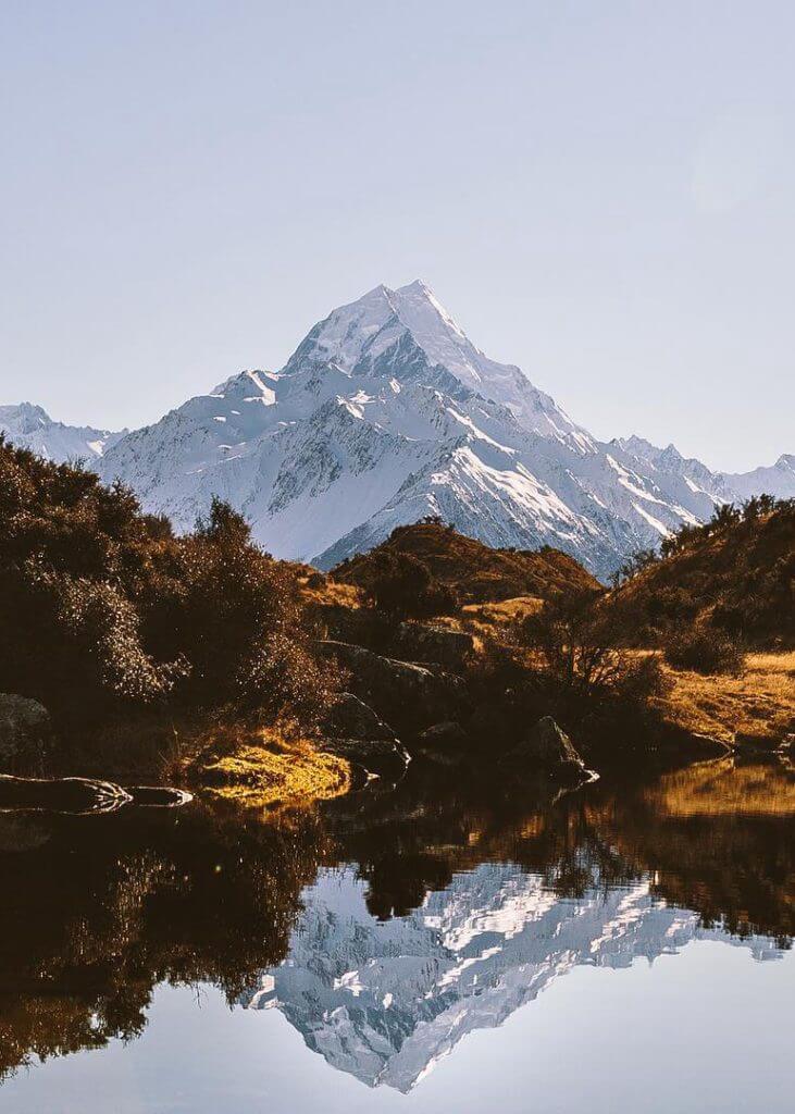
Mount Cook, the highest mountain in New Zealand
Not so high, but not so easy
Mount Cook is the highest mountain in New Zealand. Located in the Southern Alps, it belongs to the mountain range extending along much of New Zealand’s South Island length. The Southern Alps reach its greatest heights near the range’s western side.
The Aoraki/Mount Cook national park (700km2) offers an exceptional setting to discover the country’s nature.
Mount Cook or Aoraki is 3,724 meters (12,218 feet), following 2014 measurements by researchers from the University of Otago. Analysis of high accuracy GPS data obtained during the Otago-led climbing expedition in November 2013 revealed that it is actually 3,724m tall at its highest point (and not 3,754m).
Latest 1991 readings (estimated from aerial photography) were made immediately following a massive rock-ice collapse. The relatively thick remaining ice cap, at the top, had been subject to erosion.
While Mount Cook/ Aoraki is a relatively low summit, it is a technical climb often underestimated by amateur mountaineers. There are no “non-technical” routes. It is a serious undertaking. It would be best if you did not attempt this climb without good glacier travel skills, crevasse rescue, protective systems, steep snow climbing, and ice climbing. The weather is also fairly unstable.
Let’s not forget that the highest mountain in New Zealand was Sir Edmund Hillary’s training ground. While he became notoriously famous for his first ascent of Mount Everest in 1953. In 1948, the ascent of Mount Cook’s difficult south ridge was one of Hillary’s first great mountaineering achievements.
Routes to the summit of the highest mountain in New Zealand
It is regarded as more difficult than Liberty Ridge on Mount Rainier and is similar in length and difficulty to Aguille Verte in Chamonix (France) and Mount Huntington in Alaska.
The highest mountain in New Zealand is an impressive peak with five sides, six faces and seven main ridges. It was first summited on Christmas Day, in 1894, by Tom Fyfe, Jack Clarke and George Graham.
Emmeline Freda Du Faur, the Australian mountaineer, was the first woman to ascent Mount Cook, in December 1910.
There are multiple routes to the summit (more than 40 different ones). Technically, the Linda Glacier is considered to be the easiest route. It is an arduous and of average difficulty climb but fairly exposed to ice falls. It was first opened by Hugh Chambers, Jack Clarke, Jim Murphy and Hugh Wright in February 1912.
The first part of the ascent is relatively low-angled, while the last 50-100m is pitched-climbing with a 40-50° ice up to the base of the summit rocks.
If you are a more experienced mountaineer, you may want to consider other itineraries like Zurbriggins Ridge, the East Ridge, and a Grand Traverse across Low Peak, Middle Peak, and High Peak.
The Maori legend of the highest mountain in New Zealand
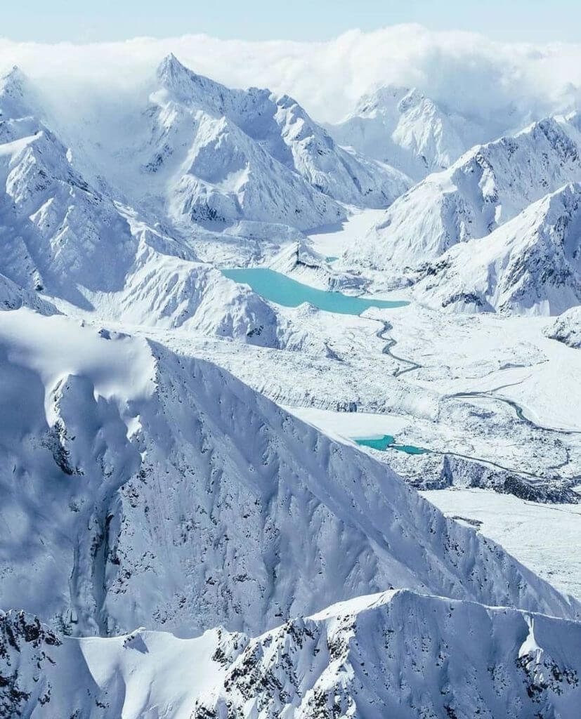
Mount Cook draws its name from James Cook, the first European explorer to claim the discovery of New Zealand. It also has another name: Aoraki, from the Maori “cloud in the sky”.
According to the legend, Aoraki was one of the three sons of the creator.
One day, they went on earth but did not manage to return to the sky and changed into rocks. The oldest of the brothers, Aoraki, naturally became the highest mountain.
Other noticeable peaks after the highest mountain in New Zealand
Most mountains are easily accessible from major tourist areas such as Wanaka, Taupo, Tekapo and Queenstown, so it’s never too difficult/ too far to go and see one of those beautiful mountains.
Mount Taranaki
Mount Egmont or Mount Taranaki (Maori) is an active canonical volcano (or stratovolcano). Due to its perfect cone shape, it is very often compared to Mount Fuji (Japan). The movie “The Last Samurai” with Tom Cruise was shot there. The last eruption was in 1854.
The 2,518m high mount is on the west coast of New Zealand’s North Island, near New Plymouth, facing the Tasmanian sea.
Mount Taranaki and Egmont national park represent the perfect playground for hikers. Like in most of New Zealand, you will be able to find numerous trails and hikes in this area (more than 300km of walking tracks surrounding the mountain).
Mount Tasman
Mount Tasma is the second highest mountain in New Zealand, after Mount Cook/ Aoraki at 3,497m (11,473ft). It lies in the Southern Alps not far away from Mount Cook.
It is a serious climb and an estimated 6-day expedition. All guides routes are snow and ice. They feature steep faces and exposed ridges. With its proximity to the highest peak in the country, the views are unforgettable.
Jack Clarke, Matthias Zurbriggen and E. A. Fitzgerald were the first to ascent in 1895.
Mount Ngauruhoe
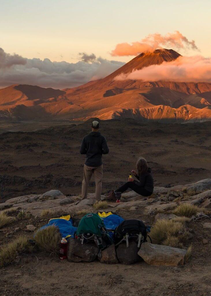
You may recognise Mount Tasman from the Lord of the Rings’ Mount Doom. It is located in the Tongariro World Heritage Park (North Island). The hike to the top would take you around 5-7 hours for a round trip of 17km (from Mangatepopo).
Mount Ngauruhoe is the youngest of the group of 3 volcanoes in the area. It is 2,287m. John C. Bidwill, an English botanist was the first to ascend in March 1839.
The Remarkables
The Remarkables are the mountain range located near the adventure town of Queenstown. In the winter, they turn into the paradise for skiers and snowboarders in the area. With Coronet Peak, Cardrona and Treble Cone, the Remarkables allow you to ski while admiring the marvellous landscapes of the South Island. Imagine skiing with a view on the lake Wakatipu.
Mount Aspiring / Tititea
Mount Aspiring / Tititea is one of the highest mountains in New Zealand. It has a height of 3,033m (9,951 feet).
It’s the highest mountain in the country outside the Aoraki/ Mount Cook region. With a pyramidal shape, it is often called the Matterhorn of the South, in comparison with the peak in the Alps (Matterhorn/ Cervino).
Bernard Head, Jack Clarke and Alec Graham were the first to ascend Mount Aspiring/ Tititea in November 1909.
Mitre Peak
Mitre Peak is a fairly low mountain (with a height of 1,692 meters / 5,560 feet) but represents a fairly technical and difficult climb.
It’s one of the most iconic mountains of the magnificent Milford Sound.
Mount Maunganui
Mount Maunganui is an extinct volcano, by the ocean. It is extremely low (232 meters). This is not a climb but rather a 30/40min stroll (3.5/4.0km) that will allow you to benefit from the amazing views on the
The British army used to use it as a military base camp during the colonial period.
Mount Ruapehu
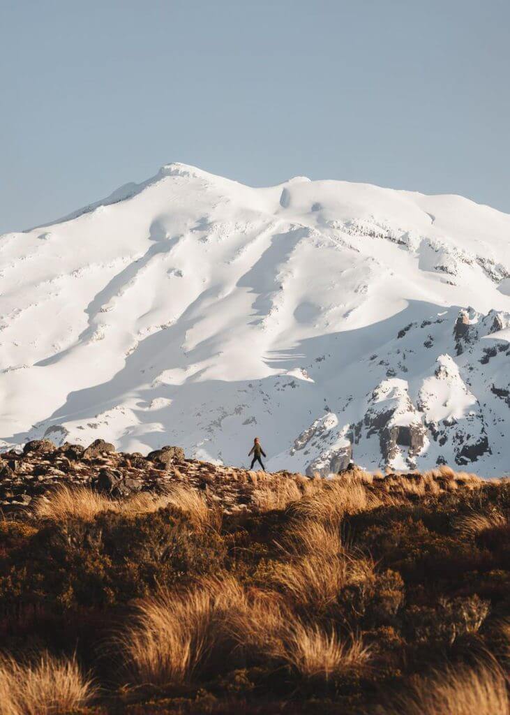
Mount Ruapehu is the highest mountain in the North Island. It is a volcano and is 2,797 meters high. It is where you can find the largest glaciers and longest ski slopes of the Island.
The winds from the west bring important snowfalls in the mountains. The local alpine weather conditions allow permanent snows at the top as well as small glaciers around the crater.
G. Beetham and J. P. Maxwell were the first to ascend Mount Ruapehu in 1879. The easiest route being the one from Whakapapa.
Several ski resorts are located there, like Whakapapa, Turoa and Tukino.
You will also be able to recognise the mountain in different shots in Peter Jackson’s Lord of the Rings.
Whakaari / White Island
White Island is a small volcanic island located north of the North Island. Uninhabited, Cook discovered it in 1789. It is the most active volcano system in New Zealand and has been active for the past 150,000 years. The 2019 eruption killed 21 of the 47 tourists who were on the island at the time.
70% of the volcanic structure is under the sea level. The 2 canonical volcanoes are 321 meters high. A lake of acid is at the centre of the island.
Day hikes you should consider
Tongariro Alpine Crossing
The Tongariro Alpine Crossing is a 20km hike that would take you 6 to 9 hours. Located in Tongariro National Park, this hike will take you around 2 volcanoes and breathtaking landscapes on the North Island.
This is not a loop so you may need to get organised for transports. Some tours would allow you to book your transport ahead ($30 from National Park and c.$65 from Taupo).
The hike is best between November and May. Between June and October, you should highly consider hiring a guide. Snow, ice, and sub-zero temperature make it much more difficult and demand strong alpine skills.
Mount Robert Circuit, Nelson
This 10km hike of average difficulty is located in Kahurangi national park. It will take you approximately 5 hours to complete (round trip).
The Mount Robert Circuit is a trail that makes a loop in front of the North face of Mount Robert (1,421m high). You will enjoy a spectacular view of Lake Rotoiti.
The park is home of the rarest birds, the oldest rocks and most peculiar plants in the country.
Fox Glacier Te Moeka o Tuawe Valley Walk, Westland
This 2.6km walk on Fox glacier will take you approximately 45min to 1hour
It may be short, but you will discover old glaciers with spectacular scenery. This path is sometimes closed due to snowfalls, floods or rock falls.
Kaikoura Shoreline Walk
Kaikoura Shoreline Walk is a short one that starts at Point Kean. It will take you, for 4.4km (2.7mi), to see amazing wildlife. You will then enjoy an incredible view of the Southern Alps, near the Kaikoura littoral.
Following the cliffs to the bay, you will have the chance to observe fur seals and colonies of birds. A bit further in, you will pass some limestone outcrops and underwater caves before reaching South Bay in the city.
Mount Stokes Track, Marlborough Sounds
Mount Stokes Track starts on the Kenepuru road, on Queen Charlotte Drive. It takes hikers to Mount Stokes, the highest peaks of the Marlborough Sounds (1,203m / 3,947ft).
It is going through a forest of Podocarpaceae before reaching the subapline summit, where you will benefit from a breathtaking view on the North Island, Picton, the Sounds and Nelson.
Some longer hikes and climbs
In addition to the numerous peaks and mountains, we mentioned earlier, here are a few recommended hikes and climbs for more serious hikers and mountaineers.
In general, the Southern Alps (South Island) with peaks reaching 3,000 meters and above, will constitute the perfect spots for avid climbers.
Mueller Hut Route, Mount Cook National Park, South Island
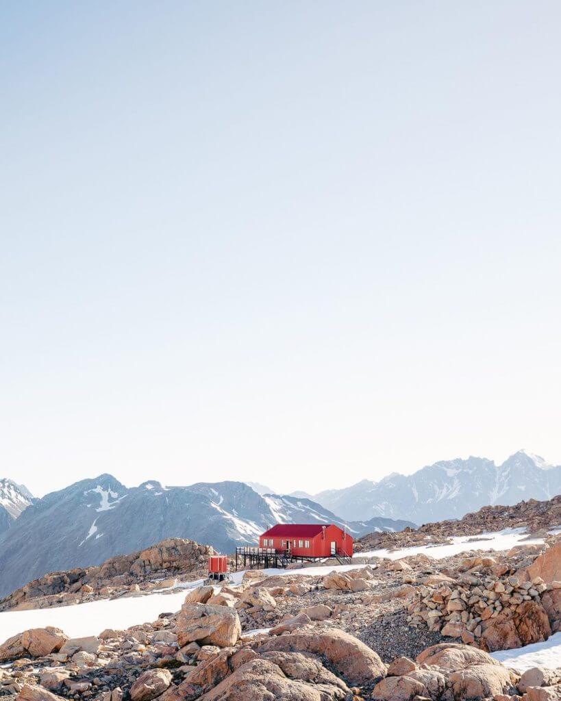
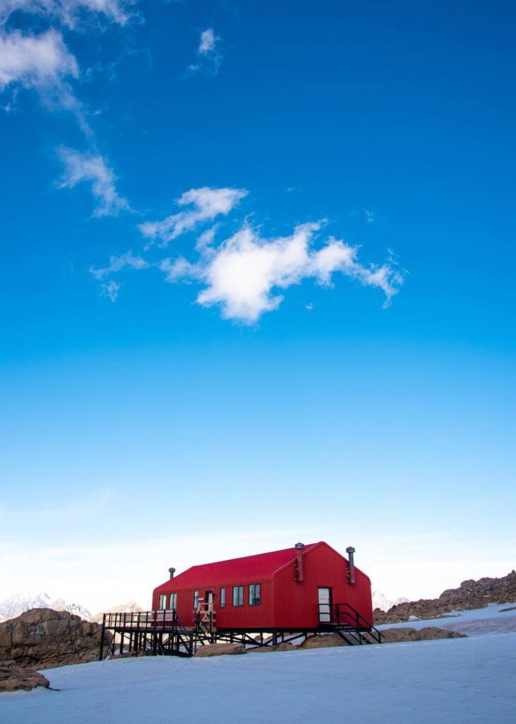
The Mueller Hut Route is a 2-day hike that would take you to the Mueller Hut, one of the most popular in the country at 1,800 meters. You will spend one night there (c.$40). The first Mueller Hut was built in 1914. The current one is the 5th one and was built in 2003.
The walk there is fairly short (5.2km / 3.2mi) but the positive elevation is strong. At the top, you will have an absolutely amazing view on the glaciers and Mount Cook. It can be done in 1 day but you will miss out on the views.
On your way back, you will take the same path as on your way up. The walk is difficult because of the elevation, the bad terrain and the wind at the top (prepare some warm clothes).
Abel Tasman Coast Track, Abel Tasman National Park, South Island
The Abel Tasman Coast Track is a 60km hike along the littoral. It usually takes 3 to 5 days to complete. It belongs to the 9 great walks in New Zealand.
In the heart of Abel Tasman National Park, this famous hike will take you between the sea and lush forest. Views are astonishing: orange-sanded beaches, lagoons, turquoise waters and incredible rock formations will leave you with lifetime memories.
Te Araroa, Cape Reinga to Bluff
This is just the longest hike. 3,054! The number of kilometres (1,898mi) you will need to walk to complete that hike.
It goes from Cap Reinga to Bluff. In itself, it would be the reason for an entire long trip to New Zealand (a website dedicated to it – where you can find additional information).
Kepler Track, Fiordland National Park, South Island
The Kepler Track is a 60km-long hike. It can be done in 3-4 days. This hike belongs to the “Great Walks” of New Zealand. You will start walking through a forest that would lead you to a magnificent alpine range.
You will stay in huts/ refuges along the way.
Milford Track, Fiordland National Park, South Island
The Milford Track is one of the best-known hikes in New Zealand. As the hut/ refuge is your only way to sleep and rest (it is forbidden to camp), you will need to book your place months in advance if you intend to do it in high season.
It will take you around 4 days (3 nights).

