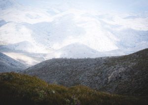
Wondering what the highest mountain in Crete is? The island can be the perfect combination of lazy days at the beach and outdoor actions. Mount Ida or Psiloritis can be an objective in itself. While not necessarily high for alpine standard, the ascent can be challenging.
In general, Crete is a very mountainous island and covered with six major mountain ranges that could be your next playground.
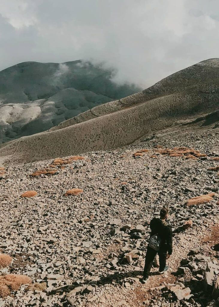
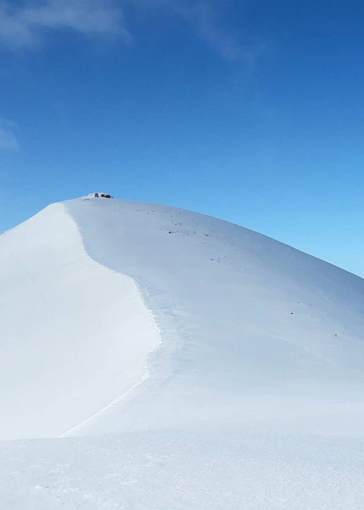
About mount Ida (Psiloritis), the highest mountain in Crete
Mount Ida is the highest mountain in Crete. It is 2,456m (8,058ft) high. It is also referred to as Psiloritis (in Greek: Ψηλορείτης, “the highest”), the name of the mountain range where Mount Ida is located.
The mountain dominates the Messara plain. There are several routes to make the ascension. The most interesting one and the wildest of all starts from Fourfouras, at the edge of the Amari valley.
Some of Crete’s highest mountain features are the Nida plateau and the Ruva forest in the Eastern part.
Mount Ida was once sacred. According to Greek mythology, Rhea gave birth to Zeus in one of the caves in Psiloritis. She gave him to the Naiades to protect him from his father Cronos, who used to eat his children.
The route to the summit/ hiking on Psiloritis
What to bring
During the summer the temperature is always at least ten degrees celsius lower than sea level. It is not uncommon to need a jacket even in July, August when everyone is laying on a beach. Snow remains until the end of June, so plan your gears accordingly.
How to get to the summit of the highest mountain in Crete
The walk starts on the Nida plateau. It is the highest in Crete (average altitude of 1,400m / 4,593ft). You will take a dirt path going up going through Ideon Antron, where there is a fascinating cave.
The European path E4 will lead you to Akolita, a lower plateau. From there, you will be able to see numerous Mitata. Shepherds used those stoned huts as protection against rain, cold or wind as well as storage for cheese and milk.
From Akolita, continue to the top, to a second couloir, right after the “tou sela digeni” mountain pass and the summit called “Mavri Korfi” (black summit). You will enjoy a particularly wild landscape and will finally have your eyes on the summit.
Once at the top, the view is breathtaking. You will be able to see the entire island: to the west, the White Mountains, to the east, the Dikti range, to the south, the Messara plain.
The descent will follow the European path E4 until Kalogrades, another plateau, right in front of Mount Kedros (1,777m / 5,830ft) where you will enjoy a fantastic view of the Paximadia islands. After this, you will take a dirt path (13km) that will lead you to Kouroutès, your final destination.
E4 hiking trail
The European path E4 is a 10,450km (6,493mi) hiking trail that goes west to east. It starts in Spain, then goes through France, Switzerland, Germany, Austria, Hungary, Romania, Bulgaria, Greece (going through Crete), to Cyprus.
There is one large trekking or hiking route on the Greek Island of Crete, which is part of the E4 European Long Distance Path. The E4 trail covers the White Mountains (Lefki Ori), Mount Psiloritis (Mount Ida) and the Mount Dikti. The E4 Path is 320 km long.
The highest mountain ranges in Crete
Crete is a mountainous island and covered with relatively high mountains. Cretan mountains are mainly grouped into six main ranges: the Dikti range in Lassithi, the White Mountains (Lefka Ori) in Chania, the Idi (Psiloritis) range in central Crete, the Asterousia range (south), the Thrypti Range and Mount Kedros.
Dikti Range
The Dikti Range is located between Heraklion and Lassithi. The highest summit is Spathi at 2,148m (7,047ft). There are two more mountains higher than 2,000m (6,562ft).
The Lassithi plateau is the highest one in Crete. It is located in the heart of the mountain range at an altitude of 850m (2,789ft), surrounded by a series of smaller plateaus like Katharo, Limnakaro, Mari, Lapathos, Omalos, Erganos and Nisimos. A mountain hut was built on Limnakaro, from which hikers go up to Spathi.
The various gorges are the most exciting features in the area. Havgas and Kalamafka are the main ones but do not miss the small canyons like Sarakina, Adrianos, Ambelos, Roza and Kritsa.
The Dikti mountains are home to diverse flora and fauna. Olive trees, pines and carobs cover the lower parts. South-east, the Selakano forest is the largest pine forest in Crete.
The White Mountains
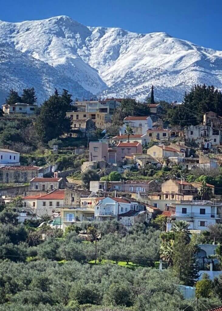
The White Mountains or Lefka Ori cover a large part of the centre of Western Crete. They are the essential feature of the region. They take their name from the fact that snow covers them until the end of spring. In the summer, the summits appear white as rocks are mostly limestone.
The highest summit of the range is Pachnes at 2,453m (8,048ft). It is the 2nd-highest summit in Crete after Mount Ida, which is only 3m (10ft) higher.
More than 30 summits, called sori (amas), are over 2,000m (6,562ft). There are also some 50 gorges, the most famous one being Samaria.
The high plateaus in the middle of the mountains are a crucial characteristic of this range. The most popular one is the plateau of Omalos. It is a circular plain surrounded by mountains, at an altitude of 1,100m (3,609ft).
There are only a couple of routes up to the White Mountains: the road going towards Omalos and the one going towards Chora Sfakion through the plateau of Askifou.
There are also some dirt paths higher up in the mountains. The only way to have a real experience of this mountain range is by walking.
The central and southern parts of the mountain range are technically a desert. It creates a unique lunar-like landscape at 1,800m (5,906ft).
The Idi range (Psiloritis)
The chapel of Timios Stavros marks the highest summit of the island at 2,456m (8,058ft). This mountain range’s raw beauty is striking: magnificent caves, impressive kast formations, deep gorges, small plateaus, woods, little villages hanging above precipices.
Psiloritis was the sacred mountain for the Minoans. Many myths are attached or related to the peak. The education of the god, Zeus, was associated with the Ideon cave. In the past, Psiloritis was covered with dense forests.
There are many caves on Psiloritis. The two main ones, opened to the public are Sfendoni near Zoniana and Gerontospilios around Melidoni.
Psiloritis is an immense water reservoir feeding several water sources and lakes. Among them, the Zaros lake, the Faneromeni dam and the Almiros sources in Ellinoperamata.
It is also possible to explore a few gorges like Vorizia, Zoniana, Keri, Kroussonas, Vromonero, Asites and Platania. The most beautiful one is the gorge of Gafaris in Rouvas.
The Asterousia range
The rocks and the steep and impressive cliffs falling in the sea gives a mysterious ambience to the Asterousia range.
The Asterousia range is located in Southern Crete and separates the Messara Plain from the Libyan Sea. It is bordered by the seaside village of Tsoutsouras, to the east, and by cape Lithino, to the west.
The Asterousia range is not exceptionally high: Kofinas, the highest mountain, is 1,231m (4,039ft). However, because of the rough terrain, the canyons and the steep ravines, it is quite challenging to explore.
High temperatures, dry landscapes and low vegetation characterise the area. Goats almost immediately eat the few trees that struggle to grow on those drylands.
Thrypti Range/ Sitia mountains
The Thrypti Range (or Sitia mountains) is the fifth most extensive mountain range in Crete. It is also called Aori. The highest peak of the group of mountains is Stavromenos (1,476m / 4,843ft).
The range is located in Lasithi in eastern Crete. It stretches between Ierapetra in the southwest and Sitia in the northeast.
A beautiful pine forest covers the entire range. Unfortunately, it has shrunk over the years due to human presence and several fires.
Near the Plateau of Thrypti start the imposing wild gorges of Ha and Mesonas. On the southern slopes of these mountains, there are some of the most scenic villages in Crete, such as the lush Orino village, and the seaside resort of Makrygialos. There are also the fantastic green gorges of Pefki, Mylonas and Orino.
Because of the rugged morphology and the ideal climatic conditions, the area of Thripti hosts several endemic species of flora such as arhontoxylo, aladania, the Cretan white anemone and the Cretan cyclamen. Lastly, the canyons’ walls, especially the unreachable Ha Gorge, shelter threatened birds of prey like the endangered bearded vulture and the golden eagle.
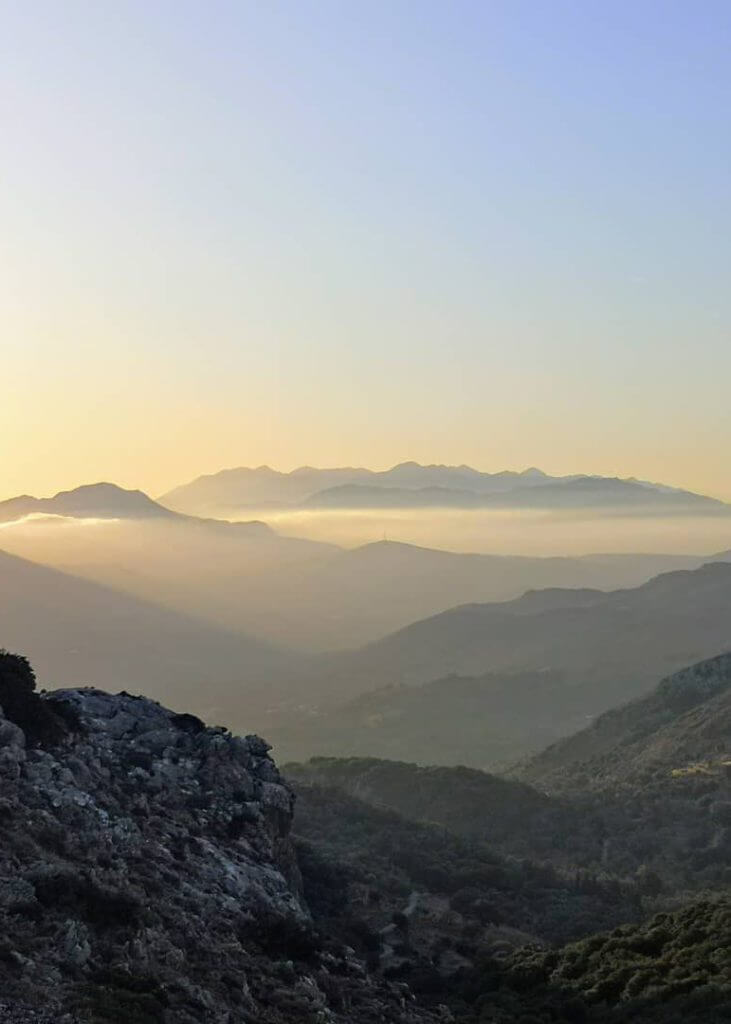
Mount Kedros
The Kedros range is located in the central part of Crete, south-east of Psiloritis, by Amari. It took its name from “the cedar”. In antiquity, the mountain range was covered by a forest of cedars, which slowly disappeared because of exploitation and fires.
The mountain range is composed of 3 main mounts: Samitos (north) the smallest one (1,014m / 3,327ft), Mount Kedros (1,776m / 5,827ft) and Asiderotos (1,179m / 3,868ft) near the sea.
Mount Kedros is known for its abundant water sources (“101 sources”). Every year, at the end of the winter, numerous waterfalls appear as a result of the melting snow.
The mountain benefits from extraordinary biodiversity and belongs to the Natura 2000 network.
Frequently asked questions about Mount Ida (Psiloritis), the highest mountain in crete
Does Crete have mountains?
Crete is a Greek mountainous Greek island. It is mainly covered with mountains that can be grouped into six major mountain ranges:
- the Dikti range in Lassithi
- the White Mountains (Lefka Ori) in Chania
- the Idi (Psiloritis) range in central Crete
- the Asterousia range (south)
- the Thrypti Range
- Mount Kedros
How tall is Mount Ida?
Mount Ida or Psiloritis is the highest mountain in Crete. It is located in central Crete and is 2,456m (8,058ft) high.

