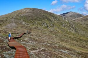
Mount Kosciuszko is mainland Australia’s highest mountain, peaking at 2,228 meters above sea level. It is one of the “seven summits” and by far the easiest one to climb. It is located on the Main Range of the Snowy Mountains in Kosciuszko National Park, New South Wales, Australia. Known for its breathtaking panoramic views, the Snowy Mountains section of the Australian Alps is a beautiful, alpine, yet rugged environment with towering mountain ranges that makes summiting Kosciuszko one of the best hikes one could ever experience.
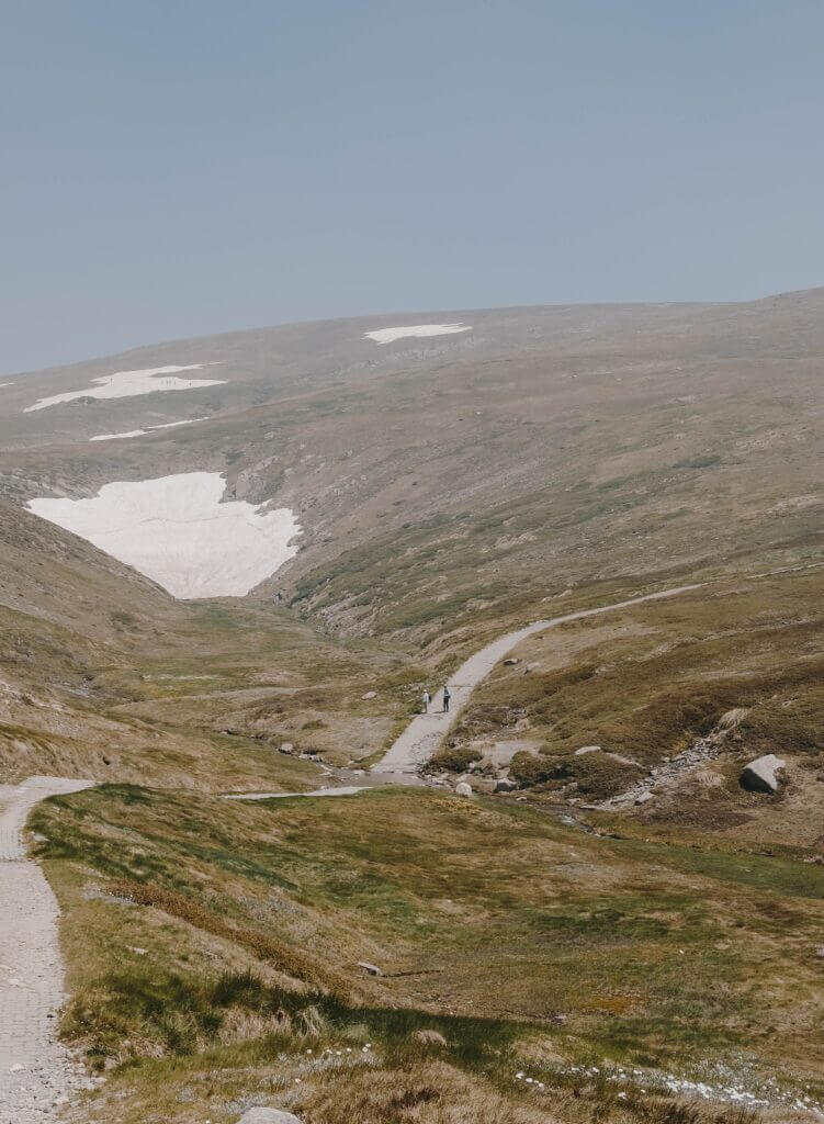
Overview of Mount Kosciuszko
Mount Kosciuszko is a big deal in other parts of the world, not just Australia. Poland is known to have a soft spot for Kosciuszko, seeing it as its native son.
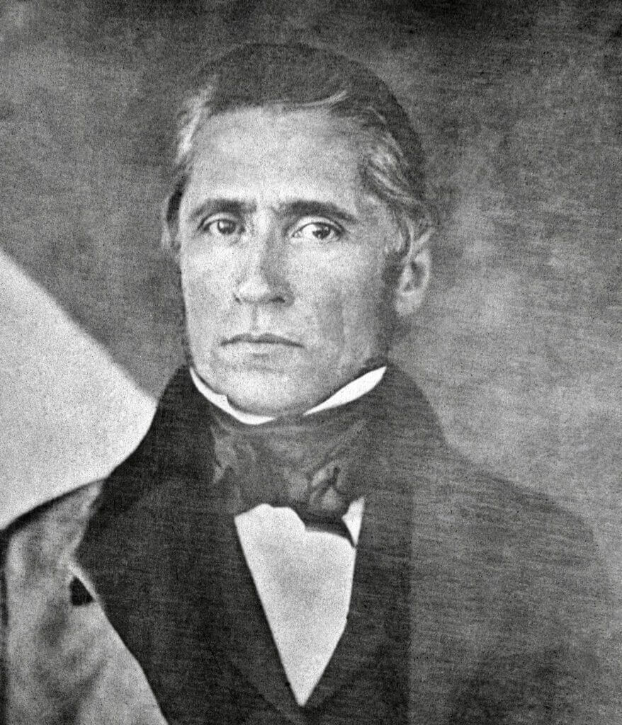
The name Mount Kosciuszko was given by the Polish explorer Sir Pawel Edmund Strzelecki, in 1840. He named the mountain after the Polish Lithuanian freedom fighter, General Tadeusz Kosciuszko, due to its resemblance to the Kosciuszko Mound in Krakow, Poland. The mountain served as a home to the Ngarigo people of the Monaro for tens of thousands of years before the arrival of Europeans. It is possible that the first European to climb Mount Kosciuszko was the naturalist John Lhotsky, who travelled through the Monaro and Snowy River regions in 1834. The naturalist John Lhotsky, who travelled through the Monaro and Snowy River regions in 1834, may have been the first European to climb Mount Kosciuszko. However, in March 1840, Sir Pawel Strzelecki officially became the first person to summit Mount Kosciuszko. He accomplished this feat while conducting a geological survey of New South Wales.
Generally, the Seven Summits mountaineering challenge includes Mount Kosciuszko, but there is controversy over whether it or Indonesia’s Puncak Jaya should be the seventh mountain. This is due to the geographical definition of the continent of Australia/Oceania. While Mount Kosciuszko is the highest mountain in Australia, Puncak Jaya in Indonesia is the higher mountain when considering all of Oceania. Some climbers choose to summit both mountains to cover all bases.
Climbing Mount Kosciuszko is relatively easy compared to climbing the other Seven Summits; Aconcagua’s summit is approximately three times higher than Kosciuszko’s.
A chair lift takes hikers up most of the way, and from there, they only need to walk 6 kilometres (3.7 miles) to reach the peak. The hike can be completed in a few hours.
The Snowy Mountains and Mount Kosciuszko National Park
The Snowy Mountains Range is located in the southeastern part of New South Wales. It includes a number of peaks that exceed 7,000 feet such as Mount Kosciuszko. On these slopes lay the Murray, Murrumbidgee, and Tumut rivers. All these flow inland, and the Snowy River flows southward to the Bass Strait. Additionally, aqueducts and tunnels divert these waters, which the Mountains Hydro-electric Scheme stores and uses for power and irrigation. The Mountains Hydro-electric Scheme was constructed in 1949 and finished in 1974.
The Snowy Mountains Range is covered in snow for 3-6 months and is used to practice winter sports and enjoy the Kosciuszko National Park.
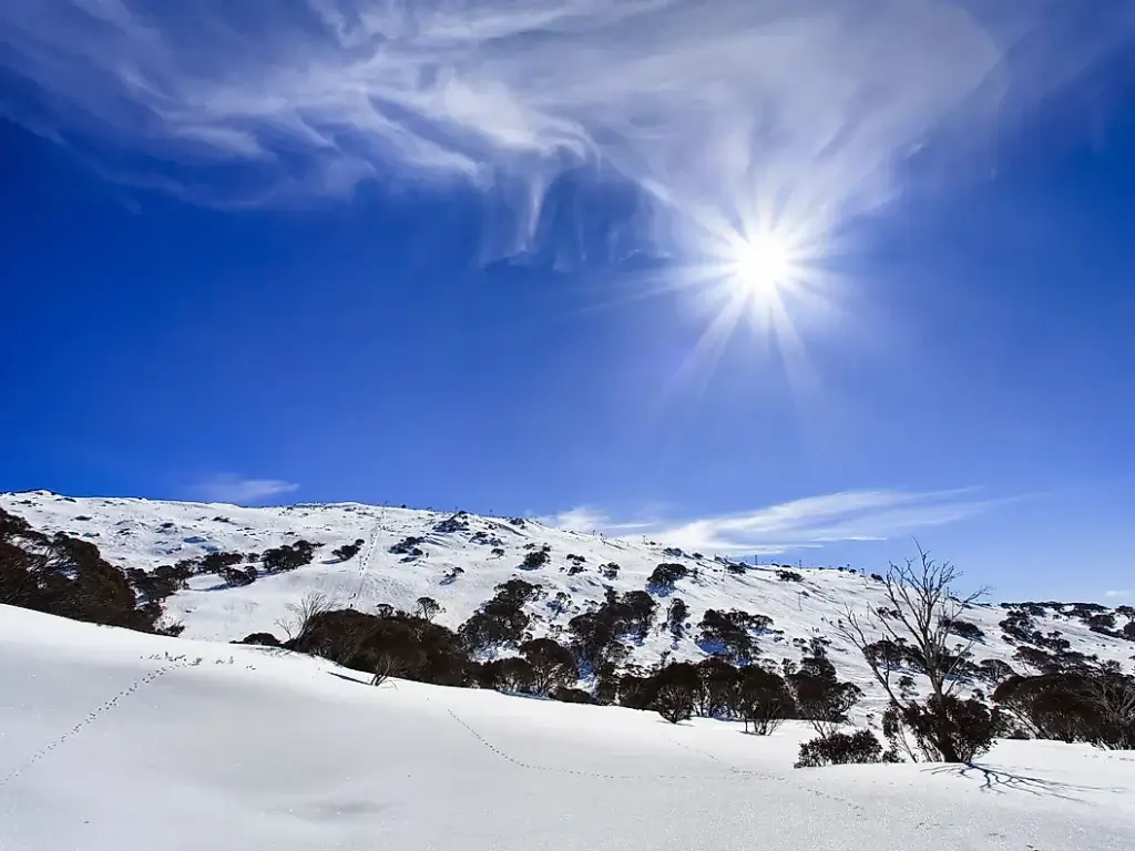
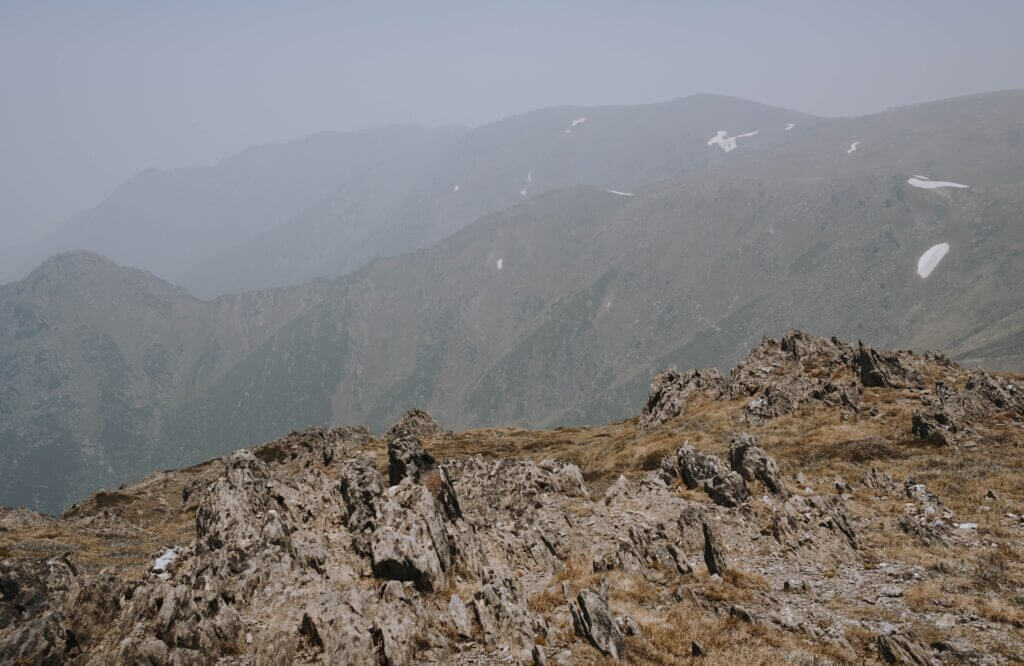
The Kosciuszko National Park covers around 690,000 hectares, which includes the Snowy River and all of NSW’s snow fields.
They expect at least 3 million visitors each year for winter skiing and summer bushwalking. Alpine streams and rivers, limestone gorges, glacial lakes, granite boulders, and alpine herb fields are all sights to see in the park. Furthermore, the park is also known as a UNESCO Biosphere Reserve area containing six wilderness regions. And it is home to a variety of unique and rare fauna and flora species.
Mount Kosciuszko Summit walk
Opening time
During winter, between June and October, the Kosciuszko Summit walk becomes snowbound. This means you can cross-country ski or snowshoe, although there are no snow poles marking the route. Also, private vehicle access between Perisher and Charlotte Pass is closed during this period.
What to bring and general notes
Climbers are advised to also possess or have access to a number of things during their ascent, this includes:
- Water
- A hat
- Snacks
- Sunscreen
- Clothes for all weather conditions
- Sturdy shoes
- Topographic map
- GPS
- Compass
Side note: The route between Rawson Pass and Mount Kosciuszko’s summit is only accessible by foot. Also, you are only allowed mountain bikes between Charlotte Pass and Rawson Pass due to the unavailability of bike stands.
Key paths and what you can expect
There are two trails to choose from to summit Mount Kosciuszko. Both of which provide breathtaking views of Kosciuszko National Park. One trail begins in Thredbo, while the other starts in Charlotte Pass.
In Thredbo, you experience the scenic Kosciuszko Express Chairlift ride before embarking on the popular 13km return Kosciuszko Walk, which takes about four to five hours to complete. The track winds up above Lake Cootapatamba, Australia’s highest lake, and offers breathtaking views from the Cootapatamba Lookout.
You can take up to 3.5 hours on a round trip to reach the summit from Thredbo. This route on foot starts at the top of the Thredbo Kosciuszko Express Chairlift, which is available all year round. This track is 5 km from Rawson Pass, meeting Charlotte Pass. From this point, you have a 1.4 km walk left to reach the summit. People know this walk as the easiest of all the Seven Summits.
Charlotte Pass (the alternative Summit walk) is accessible to walkers and cyclists for 7.6 km up to Rawson Pass. Here you reach an elevation of 2,100 meters above sea level. And from that point, you’re within 1.4 km of the summit. However, cyclists must leave their bikes behind on a bicycle rack and continue on foot to reach the summit.
People often overlook the route that takes you to the summit. Many approach Hannel’s Spur Track, which is 15.5 km in total, from the North West. It is the only route that cuts through the Western Fall Wilderness Zone, while also passing four different biodiversity bands during the ascent to Mount Kosciuszko. Nevertheless, the Hannel’s Spur Track is Australia’s biggest vertical ascent reaching 1800m. It is also known as the route that explorer Paul Strzelecki climbed when he discovered Kosciuszko in 1840, so it is worth walking for so many.
The Hannel’s Spur Track trailhead is roughly a 1.4 km hike on the South East side of the Geehi Rest Area, and it lies on the Alpine Way road, with the towns of Thredbo and Khancoban on either side.
Is Mount Kosciuszko really Australia’s highest point?
Some debate still remains about Mount Kosciuszko being Australia’s highest point, as it is about 2,400 miles away from the country itself. It is believed that the title of being Australia’s highest point belongs to a much less famous mountain called Mawson Peak.
In 1947, the Commonwealth of Australia received one of Great Britain’s most remote territories; Heard and McDonald Islands, located in the southern Indian Ocean. And Heard island is home to Mawson Peak, an active volcano that stands 1,700 feet higher than Kosciuszko. Although mainland Australia does not have any volcanoes, these islands have two.
The reality is that there are two other peaks in the Australian Antarctic Territory higher than Mount Kosciuszko, but most of the world doesn’t recognize Australia’s claim on almost half of these territories.

