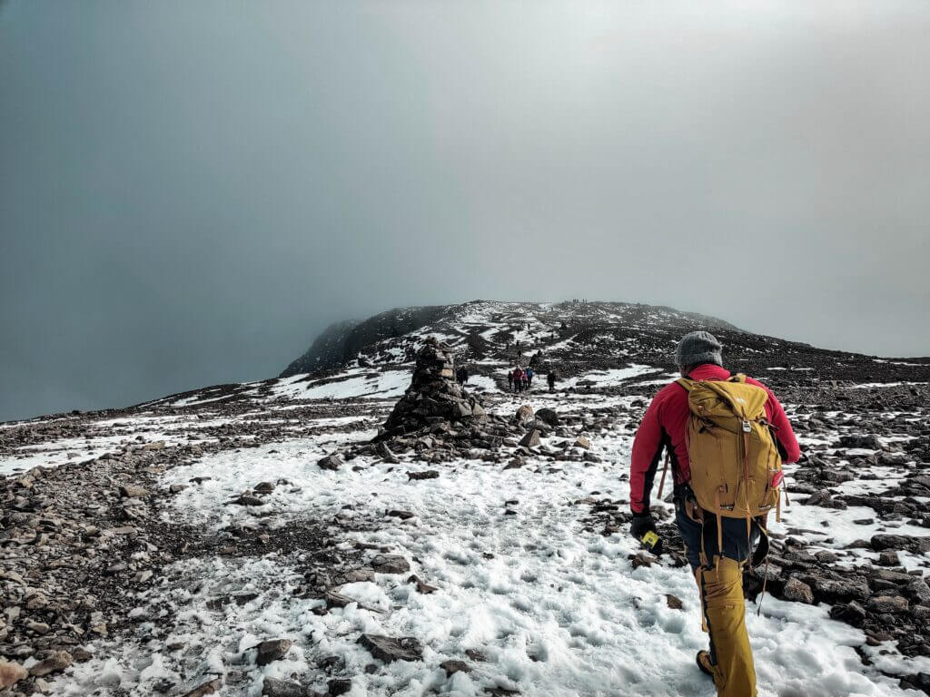
What is Ben Nevis’s Height?
Ben Nevis‘s height makes it the tallest mountain in Scotland, the UK and the British Isles. Its peak reaches 1,345 meters (4,411 ft) above sea level. In addition, it is the highest point in a 459-mile (739 km) radius. It is located in Lochaber’s Highland region, west of the Grampian Mountains, near Fort William.

An estimated 130,000 visitors ascend Ben Nevis annually, with the majority using the Mountain Track starting from Glen Nevis. Its north face boasts 700-meter (2,300 ft) cliffs, among Scotland’s tallest, offering various climbing and mountaineering opportunities ranging from easy scrambles to challenging rock climbs. Additionally, it is one of Scotland’s prime destinations for ice climbing.
Ben Nevis’ summit
Ben Nevis’s height is not the only interesting thing about the mountain. The summit of Ben Nevis, a remnant of an ancient volcano, has the remains of an observatory that operated from 1883 to 1904.
The meteorological data recorded during this time remains valuable for comprehending Scottish mountain weather. The inventor of the cloud chamber, C. T. R. Wilson, was motivated to create it after working at the observatory.
Ben Nevis’s height and other facts
- Ben Nevis is the highest mountain in Britain, reaching 1,345 meters (4,413 ft) in height.
- The summit temperature is typically 10°C cooler than the base.
- The Ben Nevis and Glen Coe National Scenic Area houses Ben Nevis, which along with much of Glen Nevis, is designated as a Site of Special Scientific Interest.
- The Ben Nevis Race has taken place annually since 1951, with the quickest runners finishing in around 1 and a half hours.
- The summit observatory was constructed in summer 1883 and remained operational for 21 years.
- The John Muir Trust owns the peak of Ben Nevis, while Jahama Highland Estates possess the North Face and lower slopes.
- The initial documented climb of Ben Nevis was by Edinburgh botanist James Robertson on August 17, 1771, while he was gathering botanical specimens in the area.

